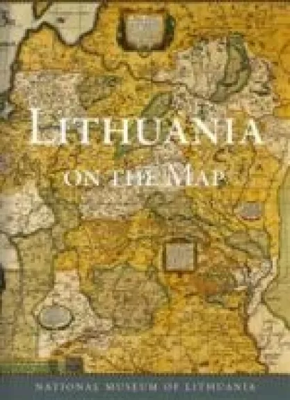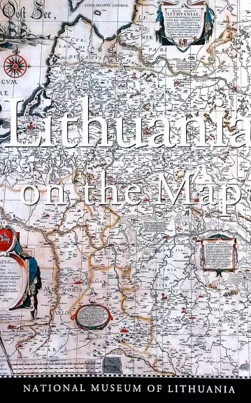
Lithuania on the map
The current publication seeks to reveal, through the works of various cartographers, the historical development of Lithuania from the depiction of the areas inhabited by the Baltic tribes already known to the old world in the early maps to the restoration of the Lithuanian state at the beginning of the 20th century.
The main focus lies on the maps of the Grand Duchy of Lithuania, witnesses of the existence of that great power and reminders of both the periods of prospering and the dramatic episodes of its history. The reader will be intrigued by battle panoramas, examples of military cartography, translations of more interesting texts found in the early maps, and concise information on the creators of the maps.


